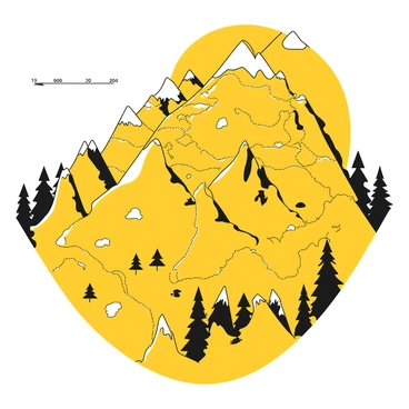
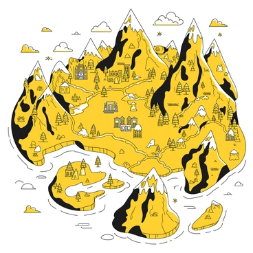
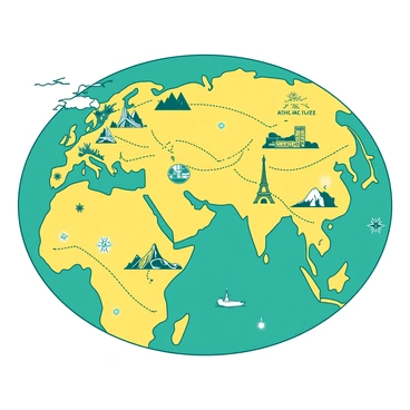
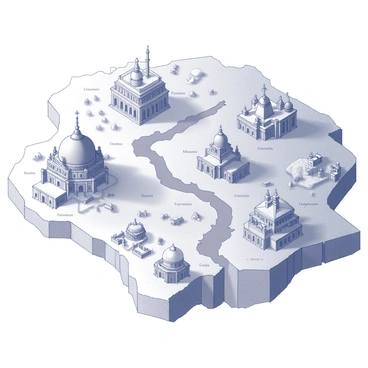
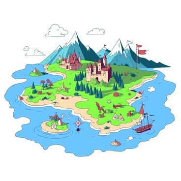
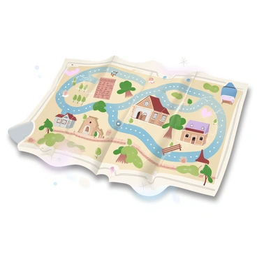
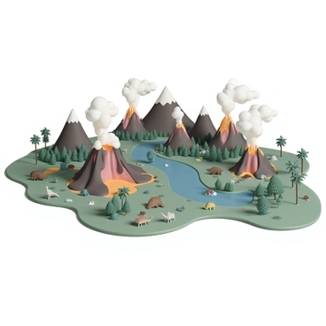
Illustration map design featuring unique styles of a diverse mapping
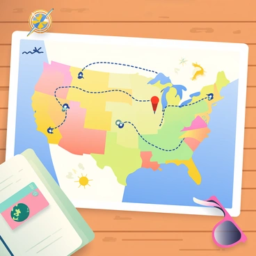
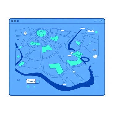
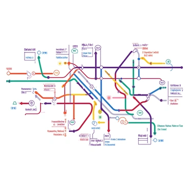
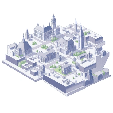
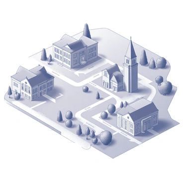
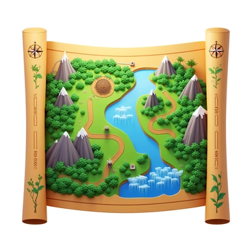
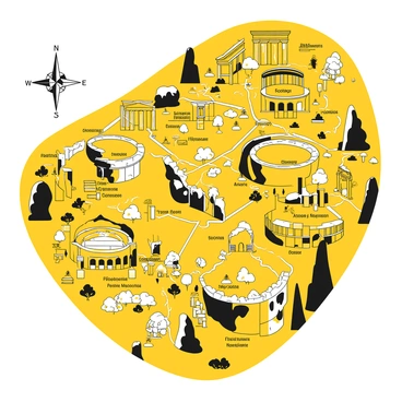
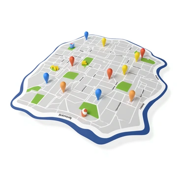
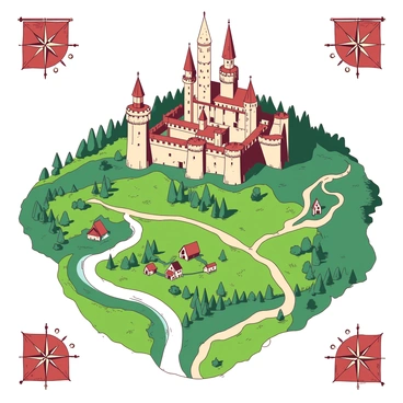
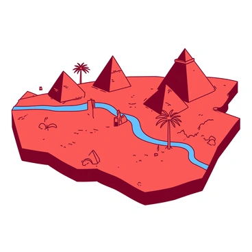
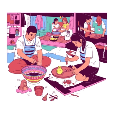
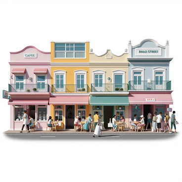
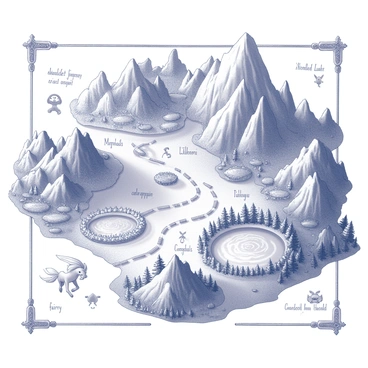
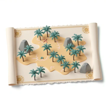
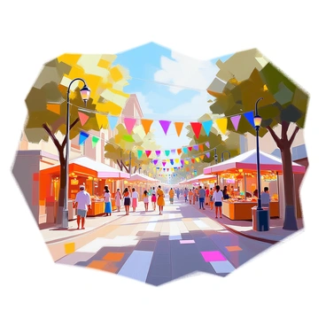
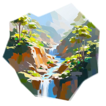
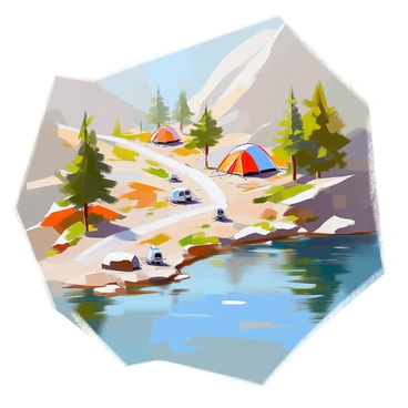
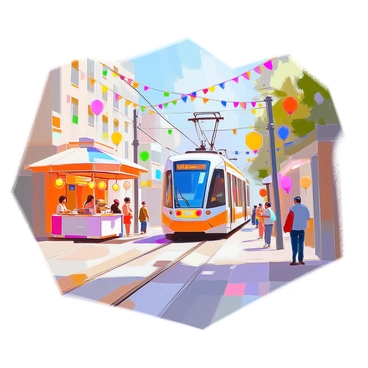
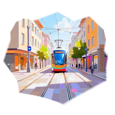
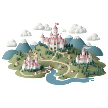
An illustration map can transform the way we perceive geographic data. Through illustration maps, artists provide a creative and compelling approach to mapping illustration. These visual representations enhance understanding and engagement with spatial information. The intricate design of each mapping illustration brings maps to life, making them not only informative but also artistically appealing for all viewers.


3d


Aerial view


America


Amsterdam


Atlas

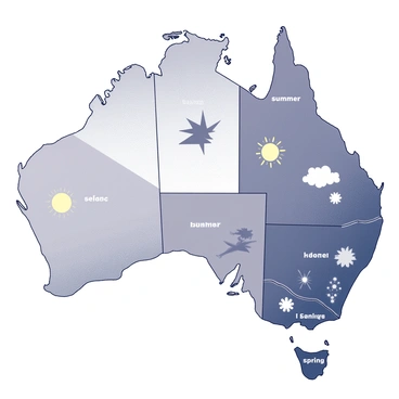

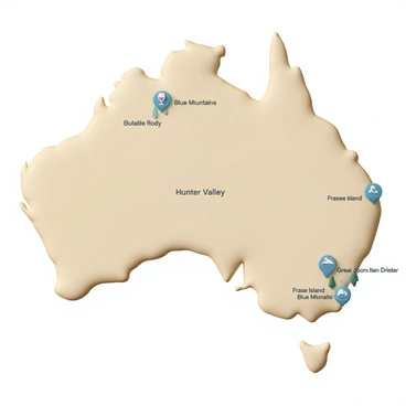
Australia


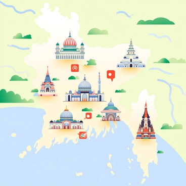
Bangladesh


Barcelona


Big things australia


Brand association visual


Budapest


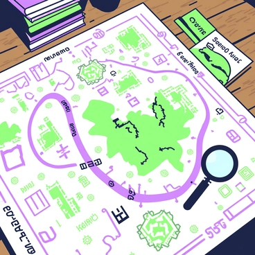
Bus route


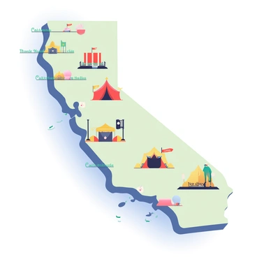
California


Campus


Canada


Cartography


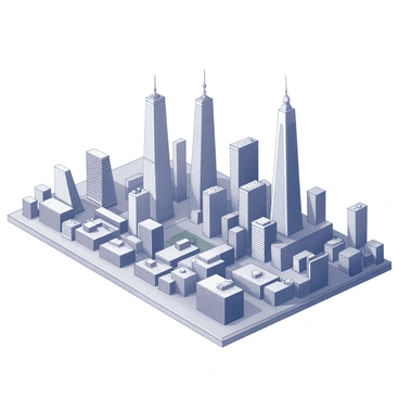
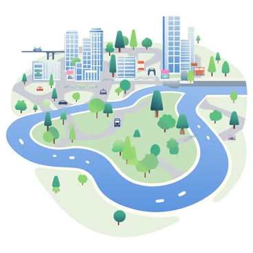
City


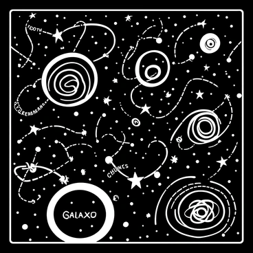
Concept


Creative


Creative india

Custom


Delhi


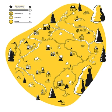
Digital hand drawn


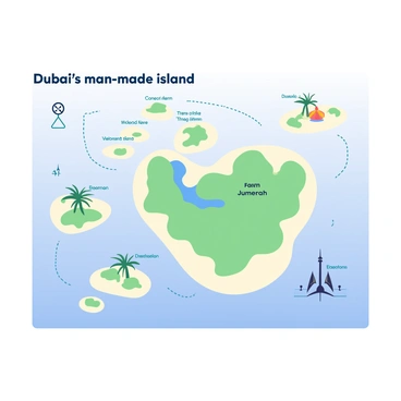
Dubai
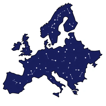
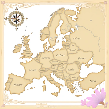


Europe


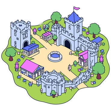
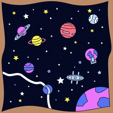
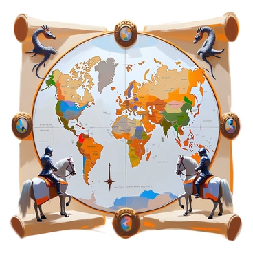
Fantasy


Germany

Goa


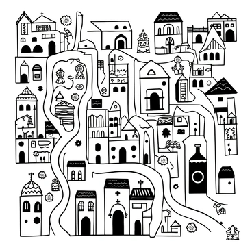
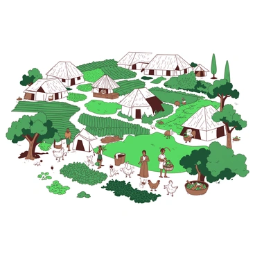
Hand drawn


Hanoi

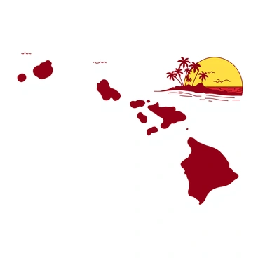

Hawaii


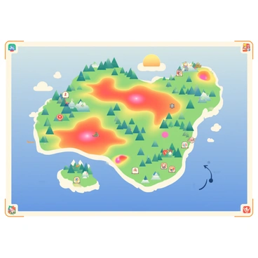
Heatmap


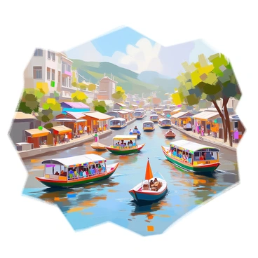
Hong kong


India


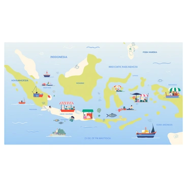
Indonesia


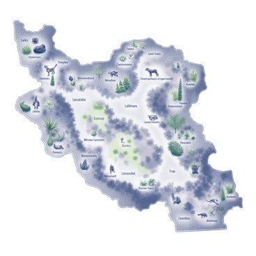
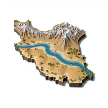
Iran


Ireland


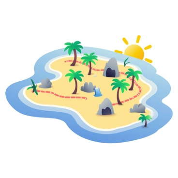
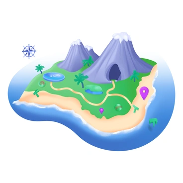
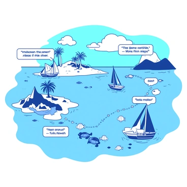
Island


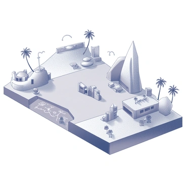
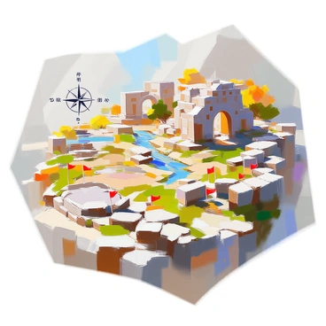
Isometric


Istanbul


Italy
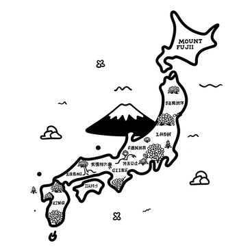
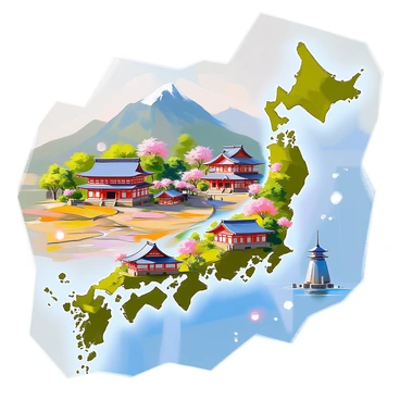

Japan


Journey


Karte


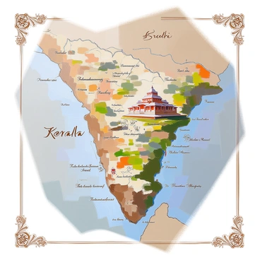
Kerala

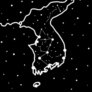


Korea


London


Maker


Malaysia


Mumbai


Navigation


New york


New zealand

Old


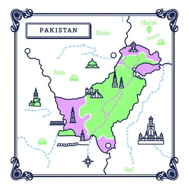

Pakistan


Palestine


Paris


Philippine
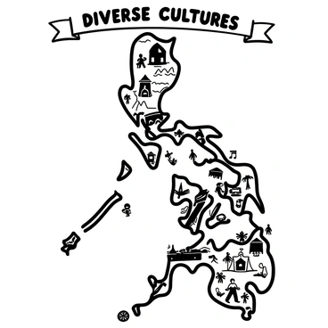


Philippines
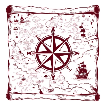


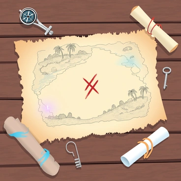
Pirate


Route


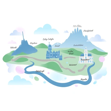
Scotland


Seoul


Simple


Singapore


Story


Street


Thematic


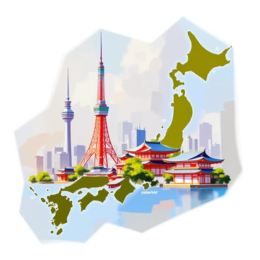
Tokyo

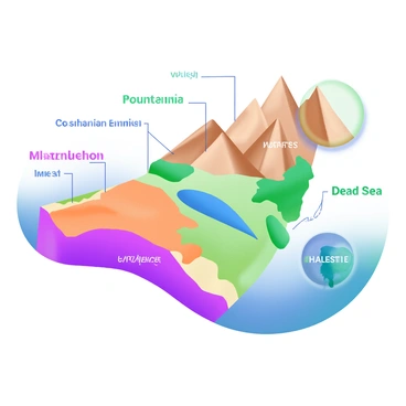
Topography


Tourist


Trail


Tram


Travel


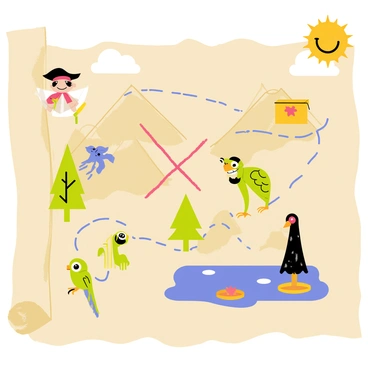
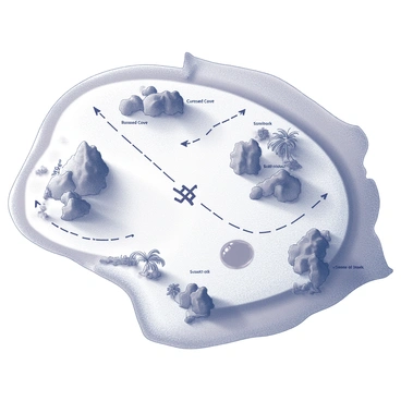
Treasure


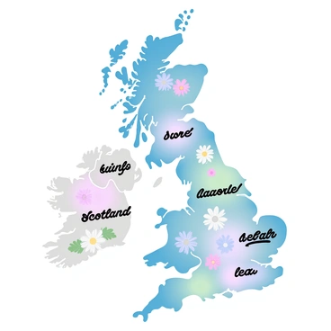
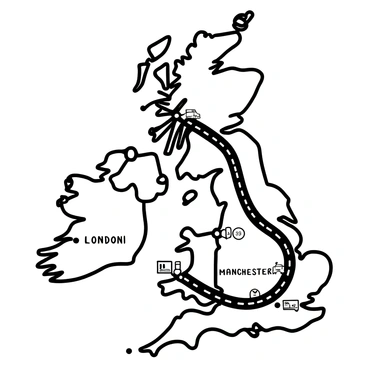
Uk
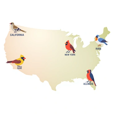


Us


Vector


Vector google
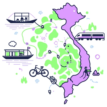


Vietnam


Weltkarte


World


World free