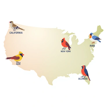
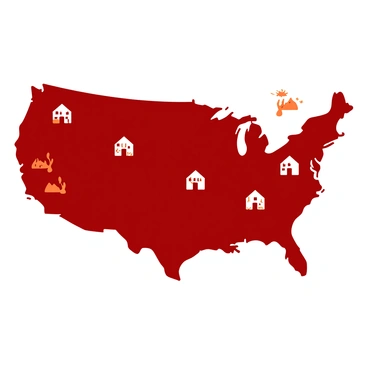
Us map illustration showcasing the usa and united states visuals clearly

Us map illustration is essential for understanding geography in the USA. The usa map illustration is widely used in education and presentations. Additionally, the united states map illustration helps visualize state boundaries and key locations. These illustrations are crucial for travelers, educators, and businesses looking to navigate the diverse regions of the united states effectively.

An illustrated US map where each state is represented by its official state bird perched on the mapA spooky US map marking ghost towns with eerie icons like old saloons and tumbleweedsA US map with small, detailed illustrations of each state's capitol building placed over their geographic locationsA playful US map where each state is occupied by its official state animalA US map showcasing where famous inventions were created, with small sketches of each inventionA US map divided into different climate zones with small illustrations representing weather patternsA US map showing the diversity of native plants with little drawings of flora over their regionsA US map with skyscrapers and cityscapes drawn over major metropolitan areasA US map with a classic car doodle following a winding path marked with different travel stopsAn old-fashioned US map highlighting major railway lines with steam trains and tracksA colorful US map highlighting the locations of major national parks with small illustrations of natural wondersA US map collage featuring iconic landmarks like the Statue of Liberty and the Golden Gate Bridge at their respective locationsA US map highlighting NASA centers and famous space missions with rockets and astronautsA US map illustrated with each state's flag positioned over its geographic locationA whimsical US map where each state is covered in its official state flowerA US map showing population density with colorful gradations and densely packed iconsA US map with portraits of famous American authors drawn over their birth statesA vintage style US map tracing the historic Route 66 with small sketches of attractions along the wayA US map highlighting key historic events with icons and short descriptions at the locations they occurredA US map with each state depicted by its most iconic dish, like deep-dish pizza for IllinoisA US map showing the approximate territories of various indigenous tribes with traditional artifactsA US map highlighting major wine-producing regions with grapevines and wine bottlesA US map with illustrated banners displaying each state's motto over their respective areasA US map illustrating famous college towns with academic symbols like graduation capsA US map showing native wildlife with small animal illustrations positioned over their natural habitatsA US map illustrating the origins of various music genres with musical notes and instrumentsA US map illustrating various cultural festivals with colorful banners and symbols over their locations
Nothing found in the community