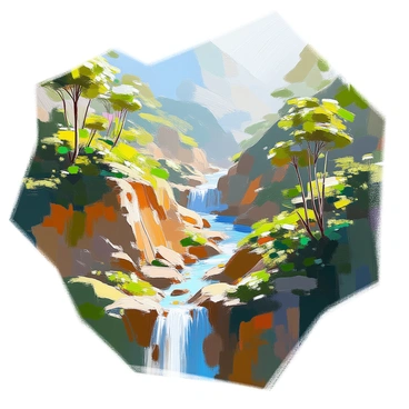
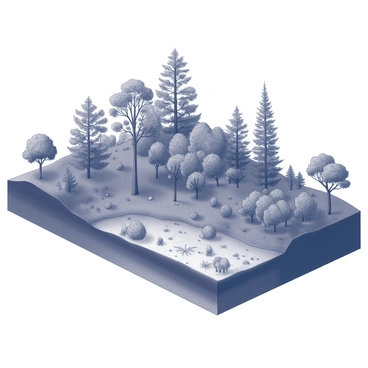
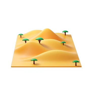
Topography illustration enhancing topographic understanding for artists and designers today

Topography illustration is crucial for visualizing landscapes and terrains. The topographic illustration provides detailed representations that aid in understanding geographical features. This artistic process utilizes various techniques to depict elevation, contours, and landforms effectively. By mastering topography illustration, artists can create compelling visuals that communicate both beauty and scientific accuracy in geography and design.

A topographic map depicting the deep canyons and dense vegetation of a rainforestA topographic illustration showing the depths and layers of a vast canyonA topographic illustration capturing the layered vegetation of a rainforestA topographic map depicting gentle hills and scattered acacia trees in a savannaA vibrant topographic map of rolling hills covered in dense forestA topographic illustration of a city park and surrounding skyscrapersA topographic illustration featuring steep coastal cliffs meeting the oceanA topographic illustration capturing the undulating contours of desert sand dunesA topographic illustration highlighting the flat terrain and sparse trees of a savannaA topographic illustration showing the complex waterways of a river deltaA topographic illustration highlighting elevation changes on a tropical islandA topographic map illustrating the flat, icy terrain of a tundra regionA topographic illustration of a karst landscape with sinkholes and limestone formationsA topographic map depicting the gentle, undulating terrain of a prairieA topographic map showing elevation and city structures in an urban areaA topographic illustration of a wetland area with marshes and water channelsA topographic illustration showing the various elevations in a delta ecosystemA topographic illustration showcasing a high plateau with scattered mesasA topographic map illustrating the dramatic terrain of a volcanic islandA topographic illustration showing the intricate waterways of a coastal marshA topographic map illustration showing detailed contour lines of a mountain rangeA topographic map highlighting the elevation and snow coverage on mountain peaksA topographic map showing the elevation and flora of alpine meadowsA topographic map showing the layout and elevation of a suburban neighborhoodA topographic map highlighting terraced vineyards on hillside terrainA detailed topographic map showing the winding path of a river through a lush valleyA topographic map highlighting a mountain bike trail through hilly terrainA topographic map illustrating the contours of a frozen lake in winterA topographic illustration showing the contours and shoreline of a large lake basinA topographic map detailing the icy surface and crevasses of a glacier
Nothing found in the community