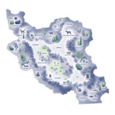
Iran map illustration showcasing beautiful geography and cultural landmarks today
The iran map illustration provides a detailed view of Iran's diverse landscapes and regions. It showcases cultural and historical sites, essential for travelers and researchers alike. Understanding this map is crucial for exploring Iran's rich heritage and vibrant culture. The iran map illustration serves as an important resource in geographic education and travel planning for enthusiasts.